Mavic 3T Guide: Surveying Complex Venue Terrain
Mavic 3T Guide: Surveying Complex Venue Terrain
META: Master venue surveying in challenging terrain with the DJI Mavic 3T. Expert tips on thermal imaging, flight planning, and photogrammetry workflows.
TL;DR
- 45-minute flight time enables complete venue surveys in single missions across complex terrain
- Thermal and wide-angle cameras capture structural data simultaneously, eliminating multiple flight passes
- Optimal flight altitude of 80-120 meters balances resolution with terrain clearance for venue mapping
- O3 transmission maintains stable control up to 15km, critical for large venue perimeters
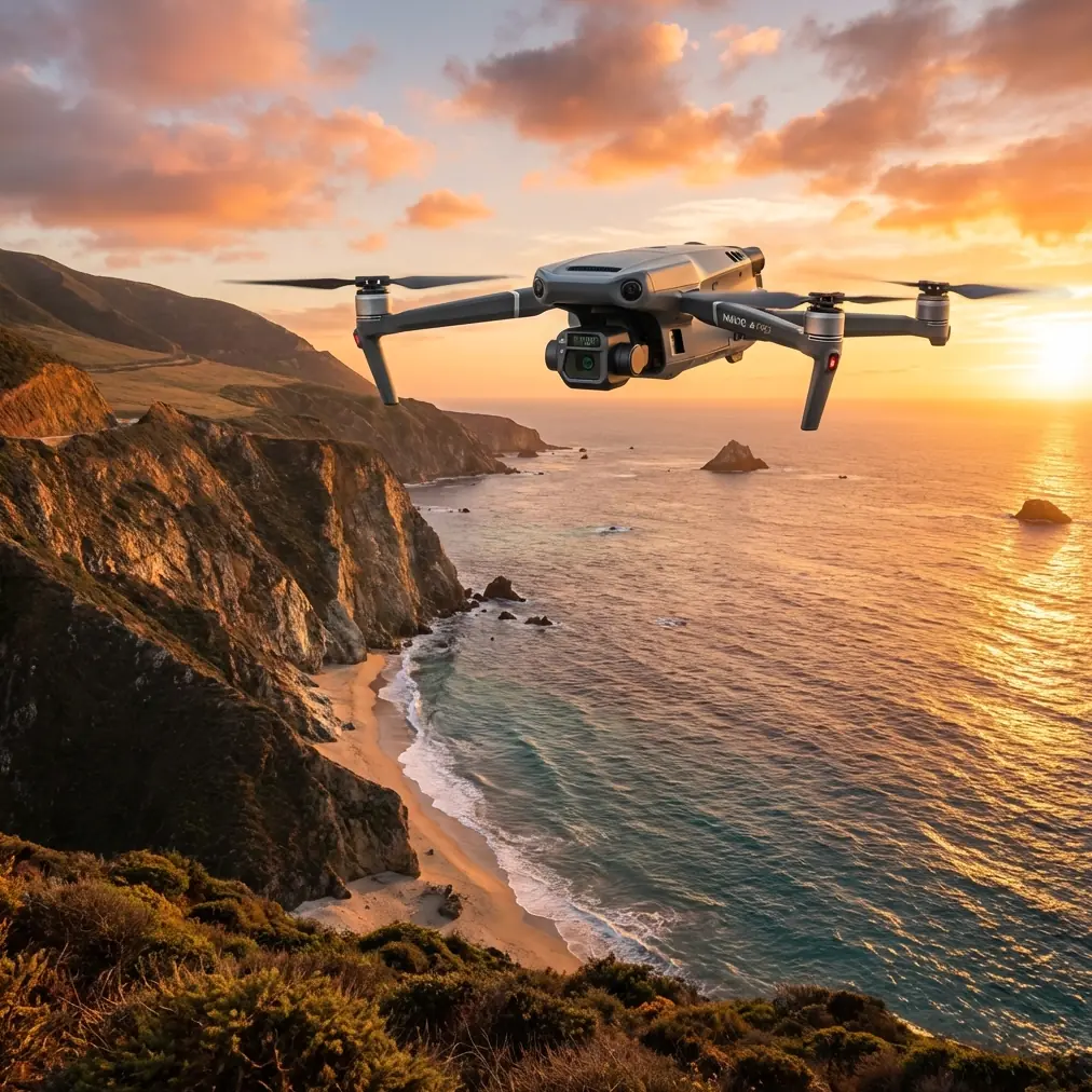
Power line inspections and building surveys share one critical challenge: complex terrain demands precision without compromise. The DJI Mavic 3T combines thermal imaging, mechanical shutter photography, and enterprise-grade transmission to transform how professionals survey venues—from stadiums to industrial complexes. This guide breaks down exactly how to leverage its capabilities for accurate, efficient terrain mapping.
Why Venue Surveying Demands Specialized Equipment
Traditional surveying methods struggle with modern venue complexity. Multi-level structures, varying surface materials, and sprawling footprints create data gaps that ground-based methods simply cannot fill.
The Mavic 3T addresses these challenges through its triple-sensor payload:
- 56× hybrid zoom for detailed structural inspection without close approaches
- 640×512 thermal sensor detecting temperature differentials as small as ≤50mK NETD
- 4/3 CMOS wide camera with 20MP mechanical shutter eliminating rolling shutter distortion
- 12MP telephoto camera for targeted documentation
This sensor combination captures comprehensive venue data in conditions ranging from pre-dawn thermal surveys to midday photogrammetry flights.
Understanding Optimal Flight Altitude for Venue Mapping
Expert Insight: For venue surveying in complex terrain, maintain 80-120 meters AGL as your primary mapping altitude. This range delivers 2.7cm/pixel GSD on the wide camera while providing adequate terrain clearance for elevation changes up to 30 meters within your survey area.
Flight altitude directly impacts three critical factors:
Ground Sample Distance (GSD)
At 100 meters, the Mavic 3T's wide camera achieves approximately 2.74cm/pixel—sufficient for identifying structural features down to 10cm in processed orthomosaics.
Terrain Clearance Safety
Complex venues often include:
- Lighting towers and scoreboards
- HVAC equipment on rooftops
- Temporary structures and scaffolding
- Perimeter fencing and barriers
The 80-120 meter envelope provides buffer space while maintaining usable resolution.
Thermal Signature Clarity
Thermal imaging performs optimally when the sensor maintains consistent distance from surfaces. Altitude variations exceeding ±20% during a single flight introduce thermal calibration inconsistencies that complicate post-processing.
Mission Planning for Complex Terrain
Successful venue surveys begin long before takeoff. The Mavic 3T integrates with DJI Pilot 2 for comprehensive mission planning.
Pre-Flight Terrain Analysis
Import venue boundaries and known elevation data into your planning software. Identify:
- Highest structural points requiring altitude adjustment
- Shadow zones from tall structures affecting thermal timing
- GCP placement locations for photogrammetry accuracy
- Transmission obstacles that might interrupt O3 signal
Flight Pattern Selection
For comprehensive venue coverage, crosshatch patterns at 70-80% overlap produce optimal photogrammetry results. The Mavic 3T's mechanical shutter eliminates motion blur at speeds up to 15 m/s, enabling faster mission completion without sacrificing image quality.
Pro Tip: Schedule thermal flights during the 2-hour window before sunrise or 1 hour after sunset. These periods maximize thermal contrast between structural elements and ambient surfaces, revealing insulation failures, moisture intrusion, and HVAC inefficiencies invisible during daylight operations.
GCP Distribution Strategy
Ground Control Points transform good surveys into precision deliverables. For venues exceeding 5 hectares, deploy GCPs following this pattern:
- Minimum 5 points distributed across the survey area
- Corner placement plus central reference
- Elevation variety if terrain permits
- High-contrast targets visible in both RGB and thermal spectra
Technical Capabilities Comparison
| Feature | Mavic 3T | Mavic 3E | Phantom 4 RTK |
|---|---|---|---|
| Thermal Sensor | 640×512, 30fps | None | None |
| Wide Camera | 4/3 CMOS, 20MP | 4/3 CMOS, 20MP | 1-inch CMOS, 20MP |
| Mechanical Shutter | Yes | Yes | Yes |
| Max Flight Time | 45 minutes | 45 minutes | 30 minutes |
| Transmission Range | 15km (O3) | 15km (O3) | 7km (OcuSync) |
| RTK Support | Yes (module) | Yes (module) | Built-in |
| BVLOS Capability | Supported | Supported | Limited |
| AES-256 Encryption | Yes | Yes | No |
| Hot-swap Batteries | Compatible | Compatible | No |
The Mavic 3T's thermal integration eliminates the need for separate thermal and RGB flights—a significant efficiency gain for time-sensitive venue projects.
Data Security for Venue Operations
Venue surveys often capture sensitive infrastructure data. The Mavic 3T implements AES-256 encryption for all transmitted data, meeting enterprise security requirements for:
- Sports facilities with proprietary layouts
- Corporate campuses with security considerations
- Government facilities requiring data protection
- Event venues during active operations
Local Data Mode prevents any data transmission to external servers, keeping survey information entirely within your control.
Workflow Integration and Deliverables
Photogrammetry Processing
The Mavic 3T's mechanical shutter produces distortion-free images ideal for photogrammetry software including:
- DJI Terra
- Pix4D
- Agisoft Metashape
- Reality Capture
Expect processing times of 2-4 hours for venues under 10 hectares when using standard photogrammetry workflows with 70% frontal and 70% side overlap.
Thermal Analysis Outputs
Thermal data exports in RJPEG format, embedding radiometric data within standard image files. This enables:
- Temperature measurement at any pixel post-flight
- Thermal gradient mapping across structures
- Anomaly detection for maintenance prioritization
- Integration with building management systems
Deliverable Formats
Professional venue surveys typically require:
- Orthomosaic maps at specified GSD
- Digital Surface Models (DSM) showing elevation
- Thermal overlay maps highlighting temperature variations
- 3D mesh models for visualization
- Inspection reports with annotated findings
Common Mistakes to Avoid
Flying Too Low in Complex Terrain
Attempting to maximize resolution by flying at 40-50 meters creates collision risks and inconsistent overlap when terrain elevation varies. The resolution gain rarely justifies the safety compromise and data quality issues.
Ignoring Thermal Timing Windows
Midday thermal flights produce flat, low-contrast imagery. Temperature differentials that clearly indicate problems at dawn become invisible when ambient heating equalizes surface temperatures.
Insufficient Overlap for Photogrammetry
Reducing overlap below 65% to speed missions creates gaps in 3D reconstruction. Complex venue geometry—particularly vertical surfaces and overhangs—requires 75%+ overlap for reliable results.
Neglecting GCP Verification
Placing GCPs without post-flight verification introduces systematic errors. Always capture dedicated GCP images at nadir and confirm point visibility in processed data.
Overlooking Battery Management
The Mavic 3T's hot-swap battery compatibility enables continuous operations, but failing to maintain battery health degrades flight time. Rotate batteries systematically and retire cells showing >15% capacity loss.
Frequently Asked Questions
What transmission range can I expect during venue surveys with obstacles?
The O3 transmission system maintains reliable control at 8-10km in environments with moderate obstacles like buildings and structures. For venues with significant RF interference—stadiums with broadcast equipment, for example—expect effective ranges of 3-5km. The 15km maximum applies to unobstructed line-of-sight conditions.
How does the Mavic 3T handle BVLOS operations for large venue perimeters?
The Mavic 3T supports Beyond Visual Line of Sight operations when paired with appropriate regulatory approvals and operational procedures. Its ADS-B receiver provides traffic awareness, while the O3 transmission system delivers the range and reliability BVLOS missions demand. Always verify local regulations before conducting BVLOS flights.
Can thermal and RGB data be captured simultaneously during mapping flights?
Yes. The Mavic 3T captures synchronized thermal and visible-light imagery during single flights. Both sensors operate independently, allowing simultaneous recording at full resolution. This eliminates the time and cost of separate thermal missions while ensuring precise spatial alignment between datasets.
Venue surveying in complex terrain requires equipment that matches the challenge. The Mavic 3T's combination of thermal imaging, mechanical shutter photography, and enterprise transmission capabilities delivers the data quality professional surveyors demand—efficiently and reliably.
Written by James Mitchell, drone surveying specialist with 12 years of experience in commercial mapping and infrastructure inspection.
Ready for your own Mavic 3T? Contact our team for expert consultation.