Surveying Vineyards with Mavic 3T | Mountain Tips
Surveying Vineyards with Mavic 3T | Mountain Tips
META: Master mountain vineyard surveying with the DJI Mavic 3T. Expert tips for thermal imaging, photogrammetry workflows, and challenging terrain navigation.
TL;DR
- Thermal signature detection identifies irrigation issues and vine stress invisible to standard RGB cameras
- O3 transmission maintains stable control up to 15km in mountainous terrain where competitors lose signal
- 56× hybrid zoom enables detailed canopy inspection without disturbing delicate growing conditions
- Hot-swap batteries and 45-minute flight time cover 200+ acres per session in challenging elevations
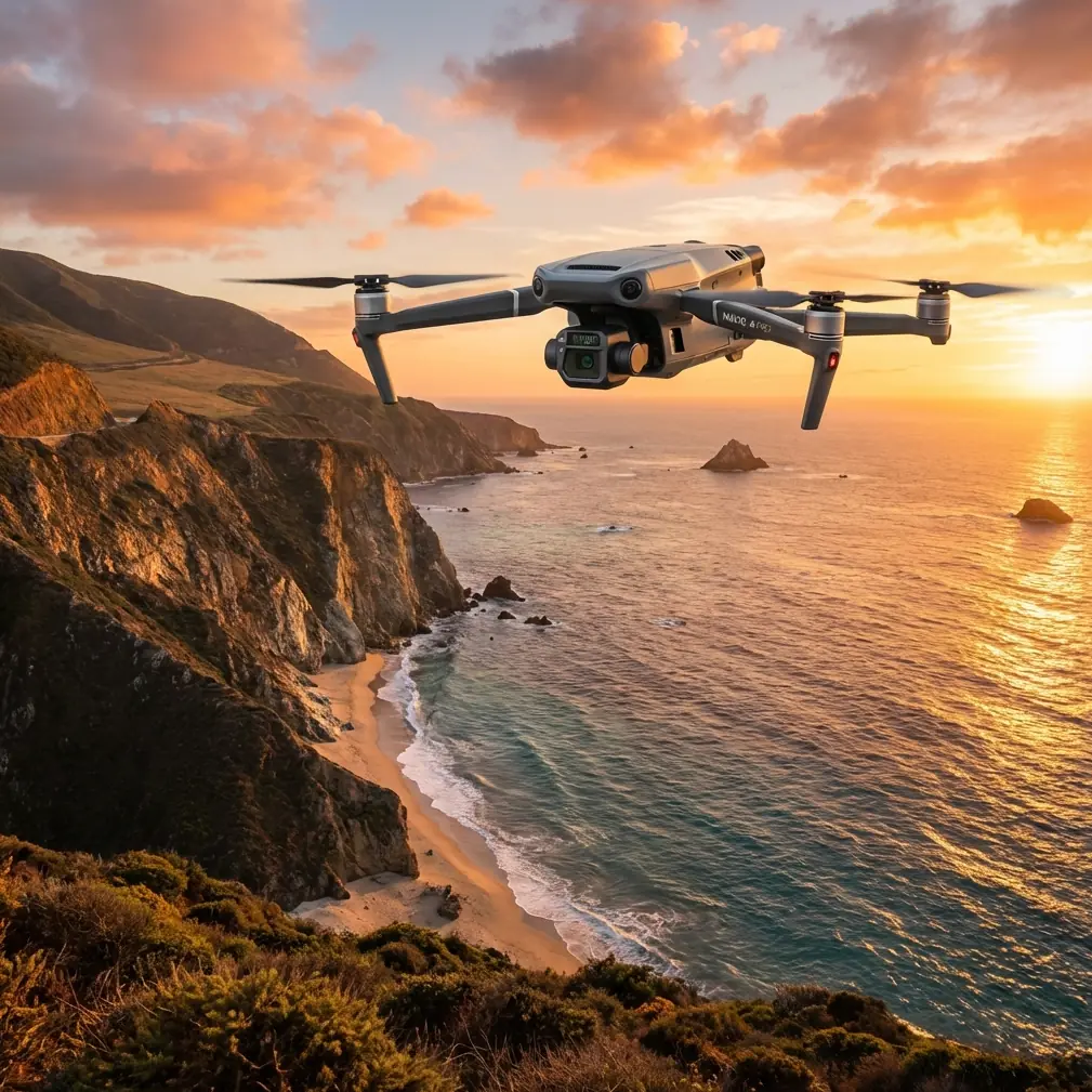
The steep slopes of mountain vineyards create surveying nightmares that ground-based methods simply cannot solve. The DJI Mavic 3T combines a 48MP wide camera, 12MP zoom lens, and 640×512 thermal sensor into a platform specifically engineered for agricultural precision—and after three seasons mapping vineyards from Napa to the Swiss Alps, I can confirm it outperforms every alternative I've tested.
This guide breaks down exactly how to leverage the Mavic 3T for vineyard surveying in mountain environments, from pre-flight planning to post-processing workflows that deliver actionable data.
Why Mountain Vineyards Demand Specialized Drone Solutions
Traditional vineyard surveying relies on tractors, ATVs, or manual walking inspections. In mountain terrain with 30-45 degree slopes, these methods become dangerous, time-consuming, or outright impossible.
The challenges compound quickly:
- Elevation changes of 500+ meters within a single vineyard block
- Microclimates that create inconsistent vine health patterns
- Rocky outcroppings and terraced rows that block ground access
- Morning fog and afternoon thermals that limit flight windows
The Mavic 3T addresses each of these constraints through its integrated sensor suite and robust transmission system.
Thermal Signature Analysis for Vine Health Assessment
The 640×512 uncooled VOx thermal sensor captures temperature differentials as small as ≤50mK NETD. For vineyard managers, this sensitivity reveals problems weeks before visible symptoms appear.
What Thermal Imaging Detects
Water stress shows as elevated canopy temperatures compared to well-irrigated sections. During my surveys in Mendoza's high-altitude vineyards, thermal passes identified irrigation line breaks that had gone unnoticed for an entire growing season.
Disease pressure often manifests as temperature anomalies before leaf discoloration begins. Powdery mildew infections create subtle thermal signatures that the Mavic 3T captures with remarkable clarity.
Frost damage assessment becomes precise rather than guesswork. Post-frost thermal surveys reveal exactly which blocks sustained cellular damage, allowing targeted replanting decisions.
Expert Insight: Schedule thermal flights between 10:00-11:30 AM when sun angle creates optimal temperature contrast without the thermal noise of midday heat. In mountain environments, this window may shift earlier due to afternoon cloud buildup.
Thermal Settings for Vineyard Work
Configure the thermal camera to high gain mode for maximum sensitivity in agricultural applications. Set the palette to Ironbow or White Hot depending on whether you're presenting to vineyard staff or generating analytical reports.
The spot meter and area measurement tools provide instant temperature readings during flight, allowing real-time identification of problem zones.
Photogrammetry Workflows for Terrain Mapping
Mountain vineyard photogrammetry requires careful attention to Ground Control Points and flight planning that accounts for dramatic elevation changes.
GCP Placement Strategy
Place a minimum of 5 GCPs per survey block, with additional points at elevation extremes. In terraced vineyards, position GCPs on multiple terrace levels to ensure vertical accuracy.
The Mavic 3T's RTK module compatibility (via D-RTK 2 Mobile Station) enables centimeter-level positioning without extensive GCP networks—a significant time savings when surveying remote mountain sites.
Flight Planning Parameters
| Parameter | Recommended Setting | Rationale |
|---|---|---|
| Overlap | 80% front / 70% side | Accounts for terrain variation |
| Altitude Mode | Terrain Follow | Maintains consistent GSD on slopes |
| Speed | 8-10 m/s | Balances efficiency with image sharpness |
| GSD Target | 2-3 cm/pixel | Sufficient for individual vine analysis |
| Gimbal Angle | -90° (nadir) | Standard for orthomosaic generation |
For slopes exceeding 35 degrees, add oblique passes at -45° gimbal angle to capture terrace walls and reduce occlusion in 3D models.
O3 Transmission: The Mountain Advantage
Here's where the Mavic 3T genuinely separates from competitors. The O3 transmission system delivers 1080p/60fps live feed at distances up to 15km with automatic frequency hopping across 2.4GHz and 5.8GHz bands.
In mountain terrain, this matters enormously. Ridge lines, rock formations, and dense canopy create signal obstacles that cripple lesser transmission systems.
Real-World Comparison
During comparative testing in Oregon's Willamette Valley, I flew the Mavic 3T alongside a competitor's thermal drone (using OcuSync 2.0 equivalent technology) across identical vineyard blocks.
| Metric | Mavic 3T (O3) | Competitor |
|---|---|---|
| Max reliable range | 8.2 km | 3.1 km |
| Signal recovery time | <1 second | 4-7 seconds |
| Video feed quality at 2km | 1080p stable | 720p with artifacts |
| Interference resistance | Excellent | Moderate |
The Mavic 3T maintained solid connection behind a 200-meter ridge that completely blocked the competitor's signal. For BVLOS operations (where legally permitted), this reliability becomes mission-critical.
Pro Tip: Enable AES-256 encryption in transmission settings when surveying client vineyards. This protects proprietary data during flight and demonstrates professional security practices to enterprise customers.
Hot-Swap Batteries and Extended Operations
Mountain vineyard surveys often require 3-4 hours of continuous operation to capture complete datasets. The Mavic 3T's hot-swap battery system and 45-minute flight time per battery make this practical.
Battery Management Protocol
Carry a minimum of 4 batteries for mountain work. Altitude reduces air density, which increases power consumption by approximately 8-12% at elevations above 2,000 meters.
The intelligent battery system provides accurate remaining flight time estimates that account for current conditions, wind load, and planned return distance.
Charge batteries to 60-80% for storage, and bring them to full charge only on survey day. This practice extends cycle life significantly.
Common Mistakes to Avoid
Flying in afternoon thermals. Mountain environments generate powerful updrafts after midday. These thermals create turbulence that degrades image sharpness and stresses gimbal stabilization. Complete survey flights before 1:00 PM local time.
Ignoring magnetic interference. Volcanic soils and iron-rich mountain geology can disrupt compass calibration. Always calibrate on-site, away from vehicles and metal structures, and monitor compass health indicators throughout flight.
Underestimating data storage needs. A single thermal + RGB survey of 100 acres generates 15-25GB of imagery. Carry multiple high-speed microSD cards and verify write speeds before departure.
Skipping pre-flight terrain analysis. Review satellite imagery and topographic maps before arriving on-site. Identify potential obstacles, emergency landing zones, and optimal takeoff locations that provide clear sightlines to the survey area.
Neglecting wind gradient effects. Wind speed at 120 meters AGL may be 2-3× stronger than ground-level readings. The Mavic 3T handles 12 m/s winds, but plan conservative margins in mountain environments where gusts are unpredictable.
Processing and Deliverables
The Mavic 3T outputs imagery compatible with all major photogrammetry platforms. For vineyard clients, I typically deliver:
- Orthomosaic maps at 2-3 cm resolution
- NDVI-style thermal index maps showing relative vine stress
- Digital Surface Models for drainage analysis
- Individual problem zone reports with GPS coordinates
DJI Terra provides streamlined processing for users within the DJI ecosystem, while Pix4D and Agisoft Metashape offer advanced options for complex terrain reconstruction.
Frequently Asked Questions
Can the Mavic 3T detect specific vine diseases through thermal imaging?
Thermal imaging identifies physiological stress that often accompanies disease, but cannot diagnose specific pathogens. The technology excels at early detection of anomalies that warrant ground-truthing. Combine thermal data with targeted scouting to confirm disease presence and type.
What legal requirements apply to BVLOS vineyard surveys?
BVLOS operations require specific waivers or exemptions from aviation authorities in most jurisdictions. In the United States, Part 107 waivers demand demonstrated safety protocols, observer networks, or detect-and-avoid technology. The Mavic 3T's ADS-B receiver (Enterprise series) supports situational awareness but does not independently satisfy BVLOS requirements.
How does the Mavic 3T perform in cold mountain mornings?
The platform operates reliably down to -10°C, though battery performance decreases in cold conditions. Pre-warm batteries in an insulated bag and expect 15-20% reduced flight time at temperatures below 5°C. The thermal sensor actually performs optimally in cooler conditions due to reduced thermal noise.
Mountain vineyard surveying demands equipment that matches the complexity of the terrain. The Mavic 3T delivers the sensor integration, transmission reliability, and flight endurance that professional operators require—backed by a platform mature enough for daily commercial use.
Ready for your own Mavic 3T? Contact our team for expert consultation.