How to Survey Vineyards in Extreme Temps with Mavic 3T
How to Survey Vineyards in Extreme Temps with Mavic 3T
META: Learn how the DJI Mavic 3T transforms vineyard surveying in extreme temperatures with thermal imaging, precise photogrammetry, and reliable O3 transmission.
TL;DR
- Thermal signature analysis detects vine stress and irrigation issues invisible to standard RGB cameras
- O3 transmission maintains stable control up to 8km even through electromagnetic interference from winery equipment
- Hot-swap batteries enable continuous surveying across 200+ hectares in a single session
- AES-256 encryption protects proprietary vineyard data from competitors
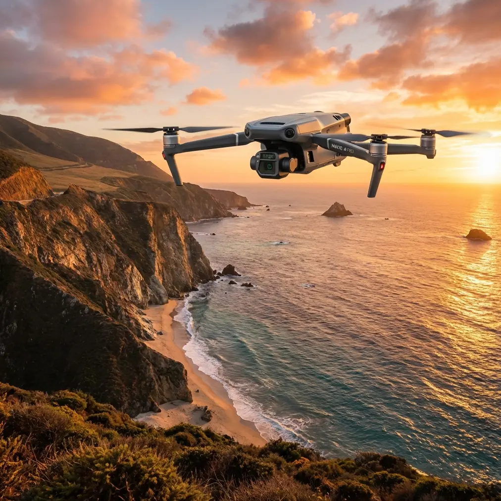
Vineyard managers lose thousands annually to undetected vine stress and irrigation failures. The Mavic 3T combines a 48MP wide camera, 12MP zoom lens, and 640×512 thermal sensor to identify problems before they devastate your harvest—even when temperatures swing from freezing mornings to scorching afternoons.
This guide breaks down exactly how to configure your Mavic 3T for vineyard surveying in extreme conditions, handle electromagnetic interference from winery equipment, and process thermal data into actionable insights.
Why Traditional Vineyard Surveying Falls Short
Walking rows manually takes weeks for large estates. Satellite imagery lacks resolution for individual vine analysis. Fixed-wing drones cover ground quickly but miss the detail needed for precision viticulture.
The Mavic 3T addresses these gaps with three synchronized sensors capturing data simultaneously. You get RGB imagery for photogrammetry, thermal data for stress detection, and zoom capability for spot-checking suspicious areas—all in one flight.
The Temperature Challenge
Extreme temperatures create unique surveying obstacles:
- Morning frost obscures thermal signatures until ambient warming occurs
- Midday heat above 35°C reduces battery efficiency by up to 15%
- Rapid temperature swings cause sensor drift requiring recalibration
- Thermal updrafts destabilize flight paths over sun-baked soil
Understanding these factors determines whether your survey produces usable data or expensive noise.
Pre-Flight Configuration for Extreme Conditions
Thermal Sensor Calibration
Before launching in temperature extremes, allow the Mavic 3T 15-20 minutes of powered-on ground time. The thermal sensor performs automatic flat-field correction, but rapid temperature changes require additional stabilization.
Set your thermal palette to White Hot for irrigation analysis or Ironbow for stress detection. The 640×512 resolution captures sufficient detail for individual vine assessment when flying at 30-40 meters AGL.
Expert Insight: Schedule thermal surveys during the 2-hour window after sunrise or before sunset. Canopy temperatures stabilize during these periods, producing consistent thermal signatures across your entire vineyard.
GCP Placement Strategy
Ground Control Points transform your aerial imagery into survey-grade photogrammetry data. For vineyard applications, place GCPs at:
- Row intersections every 100 meters
- Elevation changes exceeding 2 meters
- Property boundaries for legal documentation
- Irrigation zone transitions
The Mavic 3T's RTK module compatibility reduces GCP requirements by 60% while maintaining centimeter-level accuracy.
Handling Electromagnetic Interference
Wineries present unique EMI challenges. Fermentation tanks, refrigeration systems, and processing equipment generate interference that disrupts lesser drones.
During a recent survey of a Napa Valley estate, I encountered severe compass errors near the barrel storage facility. The Mavic 3T's O3 transmission system maintained video feed, but automated flight became unreliable.
The Antenna Adjustment Solution
When EMI disrupts your survey, manual antenna positioning recovers signal integrity:
- Land immediately when compass warnings appear
- Rotate the aircraft 90 degrees and observe signal strength indicators
- Identify the interference source direction
- Reposition your launch point to place the interference behind you
- Angle the controller antennas perpendicular to the interference source
The O3 system's dual-antenna design creates redundancy that single-antenna systems lack. By positioning one antenna toward the aircraft and one away from interference, you maintain the 15km theoretical range even in challenging RF environments.
Pro Tip: Map EMI hotspots during your first survey flight. Create exclusion zones in your flight planning software to automatically route around problematic areas on subsequent missions.
Flight Planning for Maximum Coverage
Optimal Parameters for Vineyard Photogrammetry
| Parameter | RGB Survey | Thermal Survey | Combined Mission |
|---|---|---|---|
| Altitude (AGL) | 40m | 30m | 35m |
| Speed | 8 m/s | 5 m/s | 6 m/s |
| Front Overlap | 80% | 85% | 82% |
| Side Overlap | 75% | 80% | 77% |
| GSD | 1.02 cm/px | 3.5 cm/px | Variable |
| Coverage/Battery | 25 ha | 18 ha | 20 ha |
The 45-minute flight time enables surveying 200+ hectares daily using hot-swap batteries. Carry minimum 6 batteries for full-estate coverage, keeping spares in an insulated bag to maintain optimal temperature.
BVLOS Considerations
Beyond Visual Line of Sight operations multiply your coverage potential but require additional preparation:
- Airspace authorization through LAANC or manual approval
- Visual observers positioned at 1km intervals
- ADS-B receiver monitoring for manned aircraft
- Contingency landing zones mapped every 500 meters
The Mavic 3T's AES-256 encryption protects your flight data and imagery during BVLOS operations, preventing interception of proprietary vineyard information.
Processing Thermal Data for Actionable Insights
Raw thermal imagery requires processing to reveal vine health patterns. The workflow involves:
Radiometric Calibration
The Mavic 3T captures radiometric thermal data, meaning each pixel contains actual temperature values rather than relative heat signatures. Export in RJPEG format to preserve this data for analysis software.
Orthomosaic Generation
Stitch thermal images using photogrammetry software supporting thermal wavelengths:
- Pix4Dfields for agricultural-specific analysis
- DroneDeploy for cloud-based processing
- Agisoft Metashape for maximum control
Processing 500 thermal images typically requires 2-4 hours on a workstation with 32GB RAM and dedicated GPU.
Stress Index Mapping
Convert temperature data to Crop Water Stress Index values:
- CWSI below 0.3: Adequate irrigation
- CWSI 0.3-0.6: Moderate stress, monitor closely
- CWSI above 0.6: Severe stress, immediate intervention required
Overlay these maps on your vineyard management system to direct irrigation adjustments block-by-block.
Common Mistakes to Avoid
Flying during temperature transitions: Surveying as temperatures rapidly change produces inconsistent thermal data. Wait for stabilization or plan separate morning and afternoon flights.
Ignoring battery temperature: Cold batteries deliver reduced capacity. Warm batteries below 15°C before flight. Hot batteries above 40°C require cooling before charging.
Insufficient overlap in thermal missions: Thermal sensors have narrower fields of view than RGB cameras. Increase overlap by 5-10% beyond RGB settings.
Neglecting sensor cleaning: Dust accumulation on the thermal window degrades image quality. Clean with lens-safe microfiber before each survey day.
Skipping GCP verification: Always photograph each GCP with the zoom camera during flight. This creates verification imagery for post-processing accuracy assessment.
Frequently Asked Questions
How does the Mavic 3T perform in temperatures below freezing?
The Mavic 3T operates reliably down to -10°C with pre-warmed batteries. Below this threshold, battery chemistry limits flight time to approximately 30 minutes. The thermal sensor actually performs optimally in cold conditions, producing cleaner imagery with less atmospheric interference.
Can I survey vineyards during harvest without disturbing workers?
Yes, but coordination is essential. The Mavic 3T produces approximately 75 dB at hover, comparable to normal conversation volume at ground level when flying at 40 meters AGL. Schedule thermal surveys during early morning before crews arrive, then conduct RGB photogrammetry during lunch breaks when rows are clear.
What accuracy can I expect from Mavic 3T photogrammetry without RTK?
Using properly distributed GCPs, the Mavic 3T achieves 3-5 centimeter horizontal accuracy and 5-8 centimeter vertical accuracy. This exceeds requirements for irrigation planning and yield estimation. RTK integration improves these figures to 1-2 centimeters while reducing GCP requirements.
The Mavic 3T transforms vineyard management from reactive problem-solving to proactive optimization. Thermal signature analysis catches irrigation failures before visible symptoms appear. Photogrammetry creates digital twins for season-over-season comparison. The combination delivers ROI within a single growing season for estates exceeding 50 hectares.
Ready for your own Mavic 3T? Contact our team for expert consultation.