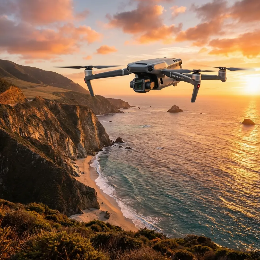
Surveying Dusty Vineyards with the Mavic 3T
Surveying Dusty Vineyards with the Mavic 3T: What Actually Matters in the Field
META: A technical review of the DJI Mavic 3T for dusty vineyard surveying, covering thermal signature use, photogrammetry tradeoffs, O3 transmission, AES-256 security, battery workflow, and real field lessons.
I’ve spent enough mornings in vineyards to know that the brochure version of drone work disappears the moment the wind starts pushing fine dust across the rows.
That was the recurring problem on one site in particular: long vine corridors, uneven terrain, patchy morning light, and a layer of dust that seemed to settle into every zipper, hinge, and landing pad. The task sounded straightforward—map vigor issues, identify irrigation irregularities, and document trouble blocks without dragging teams across the property all day. In practice, it meant balancing speed, image reliability, battery timing, and the simple reality that vineyards are awkward places for aircraft operations.
The Mavic 3T made that job easier, but not for the reasons people usually assume.
This is not really a story about buying a thermal drone and expecting miracles. It is a story about where the Mavic 3T fits well, where it does not, and how its specific feature set changes vineyard surveying when dust, distance, and time pressure are all part of the brief.
The vineyard problem most pilots underestimate
Vineyards create a strange mix of ideal and hostile conditions for small UAVs. From the air, row structure is neat and highly legible. That makes route planning feel simple. On the ground, though, you deal with repetitive geometry, changing canopy density, reflective leaves, narrow takeoff options, and constant pressure to cover more acreage before heat and wind alter the data.
Dust makes it worse. A dusty vineyard is not just an inconvenience for the pilot. It affects operational rhythm.
You want short ground intervals. You want fewer sensor swaps. You want a platform that can move from broad visual inspection to targeted thermal checks without sending the crew back to the truck to rethink the mission. That is where the Mavic 3T starts to separate itself from a standard mapping drone. Its value is not that it replaces specialist surveying aircraft in every workflow. It is that it compresses several field tasks into one aircraft package with less friction than older setups.
For a vineyard manager or survey team, that matters more than feature-sheet bragging rights.
Why the thermal payload changes vineyard work
The Mavic 3T is often discussed as if the thermal camera is only relevant for emergency response or public safety. That misses a practical agricultural use case.
In vineyards, thermal signature analysis can help surface patterns that are easy to miss in visible imagery alone. Irrigation irregularities, blocked emitters, stressed rows, drainage anomalies, and localized heat stress can appear as temperature differences before they are obvious to a walking inspector. The key word is patterns. One hot vine is noise. A repeating thermal anomaly across a section of rows is operationally meaningful.
That distinction matters in dusty conditions because visual clarity can degrade faster than teams expect, especially later in the day when haze and reflected glare start working against image interpretation. Thermal is not a substitute for RGB assessment, but it gives you another layer of evidence when visible cues become ambiguous.
I learned this the hard way on a site where crews kept chasing what looked like canopy inconsistency in RGB captures, only to find that several suspected problem blocks were simply a light-angle illusion. Once we compared those areas against thermal output, the real outliers were elsewhere. That changed where the ground team spent its time. The aircraft did not solve the agronomy question by itself, but it prevented a very human mistake: walking the wrong rows first.
For vineyard operations, that is the practical significance of thermal on the Mavic 3T. It is less about dramatic hotspot imagery and more about triage.
The photogrammetry question: useful, with limits
Now for the part that deserves honesty. If your only goal is high-precision photogrammetry across large vineyard estates, the Mavic 3T is not always the purest tool for the job compared with a platform built around dedicated mapping payloads.
But that does not mean it is weak.
In mixed missions, the Mavic 3T can still support photogrammetry workflows effectively, especially when teams use GCPs to tighten outputs and maintain confidence in positional accuracy. GCP deployment becomes even more important in vineyards because long repeating rows can introduce visual monotony, and that can stress reconstruction quality if image overlap and control are not handled carefully.
Operationally, that means the Mavic 3T shines when the job is not just “produce a map,” but “produce a map, verify suspect blocks, inspect drainage behavior, and leave with actionable field intelligence.” A specialist mapping aircraft may beat it in a narrow benchmark. The Mavic 3T often wins the workday.
That difference is easy to overlook until you are actually on site.
I would rather have one aircraft that can capture usable orthomosaic inputs, then pivot immediately to thermal inspection of stressed vine rows, than run two different systems with two different mission plans while dust keeps building and daylight keeps shifting. The real field cost is often not sensor quality in isolation. It is operational drag.
O3 transmission is not just a spec-sheet detail
Anyone who has flown along vineyard corridors knows that signal behavior can get weird. Terrain undulates. Buildings interrupt line of sight. Tree lines and infrastructure create awkward handoff moments. The Mavic 3T’s O3 transmission system matters here because link stability affects more than pilot comfort.
A stable transmission feed supports better decision-making during inspection passes. You can identify whether a suspicious thermal patch warrants another orbit. You can confirm whether a row-end anomaly is a real irrigation issue or a vehicle track still radiating heat. You can avoid wasting a battery cycle because the live view broke up at the exact wrong moment.
That is the operational significance of O3 in vineyard surveying. It is not a vanity metric about range. It is about trust in the live image when you are working extended rows and trying to make fast judgments.
The same applies when teams start discussing more advanced concepts such as BVLOS. Regulatory approval is its own topic, and operational authority depends entirely on local rules and permissions, but the technology conversation still matters. If an organization is building toward more mature, longer-distance inspection workflows, transmission reliability becomes part of the planning foundation. Not the whole foundation. Part of it.
Security matters more than many agricultural teams assume
Most vineyard operators do not think of cybersecurity first. They think about crop health, irrigation timing, labor allocation, and survey output. Fair enough. Yet once drone data starts feeding operational planning, asset management, and location-sensitive records, data security stops being abstract.
The Mavic 3T’s AES-256 support deserves more attention in this context. Not because every vineyard survey is a high-risk intelligence mission, but because many agricultural operations now sit inside broader enterprise environments. Data may pass through consultants, farm managers, irrigation specialists, insurers, and compliance teams. Securing transmission and handling imagery responsibly becomes part of professional practice.
For survey contractors, this also changes the client conversation. Security is no longer a niche checkbox for government work. It is a credibility marker. When a client asks how imagery and flight data are protected, a serious answer matters.
This is one of those details that sounds secondary until you are the one writing the operating procedures.
Dust changes battery strategy
Battery logistics in vineyards are often treated as simple arithmetic. They are not. Dust, walking distance, vehicle access, and mission switching all affect turnaround efficiency.
That is why hot-swap batteries, or more accurately the ability to keep battery changes fast and organized within the mission flow, become disproportionately valuable in this environment. Every minute the aircraft sits idle while the crew shuffles cases and wipes surfaces is a minute of changing light and rising heat. In thermal work, timing matters. In photogrammetry, consistency matters. In vineyards, those pressures often collide.
The Mavic 3T is well suited to short-cycle, task-dense operations where crews need to launch, inspect, land, switch power quickly, and get back into the air before environmental conditions move too far. In a dusty vineyard, that rhythm is worth protecting.
My advice is simple: build your field kit around the aircraft, not just the aircraft around the mission. Clean battery handling, sealed storage, disciplined landing-zone selection, and a defined swap routine are part of getting the most from the Mavic 3T. The drone can only help if the crew workflow is equally sharp.
Where this platform genuinely saves time
The strongest case for the Mavic 3T in vineyard work is not absolute image perfection. It is decision speed.
You can run a broad visual pass, identify irregular canopy zones, cross-check with thermal signature behavior, and direct ground inspection to a smaller set of high-value targets. That reduces unproductive walking, shortens diagnostic loops, and improves the odds that field teams inspect the right issue while it is still visible.
This is especially valuable for dusty sites where repeated vehicle movement and midday conditions degrade the working environment as the day goes on. Faster aerial triage means less wasted field time.
When teams ask me whether the Mavic 3T is “good for vineyards,” I usually answer with a more useful question: what part of vineyard work do you need to accelerate?
If the answer is pure corridor mapping with maximum geometric rigor, evaluate it against dedicated mapping alternatives. If the answer is practical vineyard intelligence under real field constraints, the Mavic 3T becomes much more compelling.
What I would do differently now
After several vineyard deployments, I would structure a Mavic 3T mission in three layers.
First, use RGB to establish context and row-level patterns across the property. Second, apply thermal passes selectively rather than trying to thermal-map everything at the same intensity. Third, verify with GCP-supported outputs where positional confidence matters for follow-up treatment or repeat monitoring.
That sequence avoids one of the most common mistakes I see: collecting too much data without a clear interpretation path.
The better workflow is targeted. Dusty vineyards reward discipline. Fly what you can use. Inspect what stands out. Tie findings back to field decisions. If a crew needs help refining that process, I usually point them to a quick field planning contact like message our flight team here, because most inefficiency starts long before takeoff.
Final verdict on the Mavic 3T for dusty vineyard surveying
The Mavic 3T is at its best when the assignment demands more than one type of answer.
That is the core point. It lets a vineyard team move between visual assessment, thermal interpretation, and practical field verification without carrying the complexity of a much larger system. Its thermal capability is genuinely useful for identifying irrigation and stress patterns. O3 transmission improves confidence during long-row inspection. AES-256 addresses a growing, often neglected side of professional UAV operations. And efficient battery workflow matters more in dust-heavy agricultural sites than many operators realize.
Would I call it the definitive aircraft for every survey-grade vineyard mission? No. That would be too broad and not especially helpful.
Would I trust it for real vineyard work where dust, time pressure, and mixed inspection goals define success? Absolutely.
That is why the Mavic 3T keeps earning space in serious agricultural workflows. Not because it does everything. Because it reduces the number of compromises that usually slow a field team down.
Ready for your own Mavic 3T? Contact our team for expert consultation.