Mavic 3T in Complex Terrain: A Technical Review
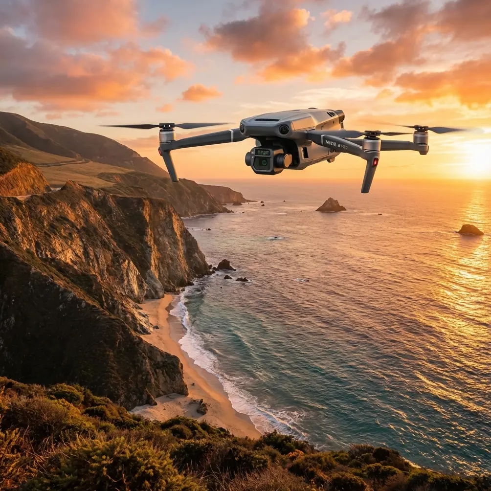
Mavic 3T in Complex Terrain: A Technical Review for Vineyard Survey Work
META: Expert review of the Mavic 3T for vineyard surveying in complex terrain, covering thermal workflows, transmission reliability, configuration discipline, and pre-flight safety practice.
By Dr. Lisa Wang
A vineyard on flat ground is easy to romanticize. A vineyard on broken slopes, with terrace lines, tree shadows, irrigation hardware, retaining walls, patchy soil moisture, and inconsistent GNSS visibility, is a different kind of workplace. In that setting, drone choice stops being about headline specs and starts becoming a question of configuration discipline, repeatability, and how well the aircraft supports decisions when conditions are less than tidy.
That is where the Mavic 3T becomes interesting.
Most discussions of this platform drift toward broad claims. That misses the real value. For vineyard survey teams working in complex terrain, the Mavic 3T is best understood not as a single fixed product, but as a configurable field instrument. That distinction matters because the quality of results in agriculture rarely depends on one sensor alone. It depends on how the aircraft is prepared, how the payload mix is matched to the job, and how small operational details are controlled before takeoff.
There is an old civil aircraft design principle that still applies cleanly here. In a configuration control system, the manufacturer defines a practical baseline, then organizes selectable features into structured categories so users can choose what fits their mission before operations begin. One reference describes this idea through a “configuration guide” used to present the basic aircraft and the customer-selectable elements most likely to be accepted in routine service. Another key point from the same source is that some components may move from one category to another over time, based on customer demand, order history, or product changes. That sounds abstract until you look at drone operations in agriculture.
For Mavic 3T vineyard work, that principle is operationally useful. It means the aircraft should be treated as a baseline airframe plus a mission package, not as a one-size-fits-all tool. A thermal survey for blocked irrigation lines, early vine stress, or drainage anomalies is not the same mission as a photogrammetry run intended to support slope models, row spacing verification, or terrain-aware planning. The platform may be the same, but the configuration logic should change with the objective.
This is why pre-flight preparation deserves more attention than it usually gets.
One overlooked step is cleaning the aircraft’s safety-critical sensing surfaces before every launch, especially when working near dust, pollen, loose soil, and spray residue. Vineyards produce all four. A thin film on obstacle sensing elements or optical surfaces can quietly degrade confidence in terrain-following behavior, landing precision, and general situational awareness. That can become serious on sloped launch points where the drone is already managing elevation changes, wind curl over ridgelines, and visual clutter from vine canopies. A fast wipe-down with approved materials is not housekeeping. It is part of the safety system.
This kind of pre-flight ritual fits the same configuration mindset described in civil aircraft design manuals. The aircraft’s baseline characteristics may be stable, but the field package is never static. Dust load, battery temperature, lens condition, mission profile, and radio environment all change. Teams that ignore these variables often blame the drone for what is actually a configuration management problem.
In practical vineyard work, the Mavic 3T earns its place when you combine thermal signature analysis with structural site awareness. Thermal data alone can be misleading in complex terrain. A cool patch may indicate healthy moisture retention, but it may also be a shadow effect from a terrace edge or a timing artifact caused by the sun angle. A hot zone may reflect plant stress, but it can also come from exposed rock, compacted track surfaces, or infrastructure. This is why thermal should be interpreted alongside geometry.
That is where a photogrammetry pass still matters, even on a thermal-capable platform. If your team builds a terrain surface model and cross-checks thermal outliers against elevation, row orientation, and canopy density, the data becomes far more actionable. In steep vineyards, GCP placement can tighten spatial confidence, especially if the goal is change detection over time rather than a one-off visual report. The drone is collecting images, yes, but the real output is decision confidence: where to inspect irrigation first, which rows deserve ground verification, and whether the pattern is agronomic, structural, or simply environmental noise.
Transmission reliability is another area where vineyard terrain exposes weak assumptions. A brochure-level understanding of radio performance is not enough when flying behind contour lines or near mixed vegetation and masonry structures. O3 transmission is valuable here because stable situational feedback is not just about pilot comfort. It directly affects how conservatively a crew must fly around topographic masking and intermittent line-of-sight interruptions. In terraced blocks, signal quality can change quickly as the aircraft dips behind ridge shoulders or passes near dense tree margins. A robust link reduces uncertainty, which in turn supports cleaner data collection and fewer interrupted lines.
Security also deserves a more mature discussion than it usually gets. Agricultural operators increasingly handle sensitive site information: crop condition maps, infrastructure layouts, treatment zones, water access points, and operational schedules. AES-256 matters not because it is fashionable to mention encryption, but because vineyard operators may not want location-linked imagery and thermal patterns exposed through weak data handling practices. For large estates, contract surveyors, and multi-party farm management arrangements, secure transmission and secure storage are no longer “enterprise extras.” They are part of professional hygiene.
Battery strategy is equally central in hilly vineyards. Long traverses across separated blocks can waste time if each interruption requires a slow turnaround cycle. Hot-swap batteries change the pace of fieldwork because they help crews preserve mission continuity during short operational windows, especially in early morning thermal work when timing strongly affects interpretability. That matters more than many teams realize. Thermal surveys are highly sensitive to environmental timing. If you lose the useful contrast window because battery logistics are clumsy, the day’s data quality can collapse even if the aircraft itself performs perfectly.
This gets us back to the civil aircraft configuration concept from the reference material. The source notes that a structured guide presents the basic characteristics of the aircraft, including power systems, cockpit-related functions, environmental systems, basic interior layout, emergency equipment, and load conditions. Translate that idea into Mavic 3T operations and the logic becomes clear: your effective field configuration includes power planning, control interface setup, environmental constraints, mission software behavior, safety settings, and payload interpretation rules. The aircraft may be compact, but the mission architecture is not.
That architecture becomes even more critical if you are planning workflows that edge toward BVLOS frameworks where regulations allow and where approvals are in place. I am not suggesting casual long-range operations. The point is narrower. As vineyard estates grow in scale, operators naturally want to reduce repositioning time and cover separated parcels efficiently. In those environments, disciplined configuration control becomes a prerequisite for any advanced operational concept. You need known battery states, known communications performance, known contingency behavior, and known payload limitations. Without that structure, range becomes a liability instead of an advantage.
There is another detail buried in the aircraft design reference that deserves attention: the notion that when several realistic configurations are considered from the start, later custom requests are reduced and the total work process becomes more efficient. This maps directly onto survey program design. Vineyard teams should not build every mission from scratch. They should create a small set of standard operating profiles.
For example:
- a thermal-first dawn profile for irrigation and stress screening
- a midday visual profile for structure, access roads, and erosion review
- a terrain-linked photogrammetry profile with GCP support for repeatable mapping
- a quick post-weather event profile for drainage and slope instability checks
The gain is not just convenience. Standardized profiles reduce field errors, improve comparability between flights, and shorten crew briefings. That is exactly the kind of simplification the reference describes when it argues that a well-structured option system makes design and production easier. In drone terms, it makes deployment and interpretation easier.
The second reference in your materials is heavily degraded, but its subject points toward standards and standard parts, specifically threaded components. Even without extracting a clean operational paragraph, the implication is obvious and useful: standardization at the component level supports reliability. In drone fieldwork, that principle translates into disciplined inspection of propeller mounts, folding arm joints, battery interfaces, payload attachment integrity, and every recurring mechanical touchpoint. On steep vineyard sites, vibration, repeated transport, and frequent setup on uneven ground can amplify wear in ways teams do not notice until performance becomes inconsistent. Precision starts with small hardware habits.
So how does the Mavic 3T stack up for vineyard surveys in difficult terrain?
It is strongest when used as a structured sensing platform rather than a casual camera drone. Its value grows when thermal signature analysis is paired with terrain-aware image interpretation. It becomes more reliable when O3 transmission is treated as part of mission continuity, not merely a convenience feature. AES-256 supports the professional handling of sensitive agricultural data. Hot-swap battery workflows protect narrow survey windows. And all of it benefits from a simple but often skipped discipline: clean the aircraft’s sensing and optical surfaces before flight, every time, particularly after dusty transport or work near sprayed rows.
If your survey objectives include vine stress triage, irrigation diagnostics, erosion observation, canopy pattern comparison, and targeted follow-up ground checks, the Mavic 3T can be a precise and efficient tool. If the plan is vague and the setup is improvised, even a capable platform will produce noisy results and false confidence.
That is the real lesson hidden in the reference material. Good aircraft systems are rarely just about hardware. They are about organized choices. The old “configuration guide” idea from civil aviation remains surprisingly relevant: define the baseline, choose the mission-specific options deliberately, and refine the package as field experience accumulates. The source page sits at 741 and speaks to large civil aircraft, yet the operational logic scales down neatly to a vineyard drone program. A strong platform becomes far stronger when the team stops treating each flight as an isolated event and starts managing it as a repeatable configuration.
If you are evaluating workflows for sloped vineyards and want to compare thermal survey setups, mapping sequences, or battery rotation planning, you can message a technical specialist here.
The Mavic 3T is not interesting because it can fly over vines. Many aircraft can do that. It is interesting because, in complex terrain, it rewards disciplined operators with data that is easier to trust.
Ready for your own Mavic 3T? Contact our team for expert consultation.