Mavic 3T in Extreme Vineyard Conditions: What Actually
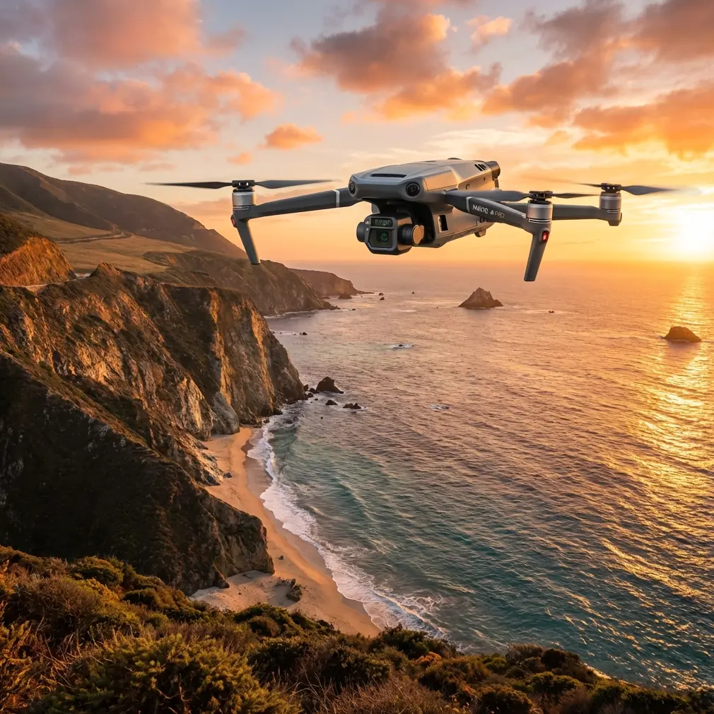
Mavic 3T in Extreme Vineyard Conditions: What Actually Matters in the Field
META: Expert analysis of using the DJI Mavic 3T for vineyard surveying in extreme temperatures, with practical insight on thermal signatures, software reliability, transmission integrity, and accessory-based workflow gains.
Vineyard surveying sounds tidy on paper. Rows are predictable. Boundaries are known. Repeat flights should be simple. Then summer pushes canopy temperatures upward, winter mornings flatten battery performance, and the terrain starts reflecting light and heat in ways that make clean data harder than many operators expect.
That is where the Mavic 3T becomes more interesting than its spec sheet suggests.
For vineyard teams working through extreme temperatures, the real question is not whether the aircraft can fly. It usually can. The harder question is whether the data chain stays dependable from lift-off to final analysis. In practice, that means three things: the aircraft has to maintain stable control and transmission, the sensing workflow has to remain interpretable under thermal stress, and the operation needs to reduce avoidable human error. Those are engineering questions as much as they are piloting questions.
A useful way to think about this comes from a source outside the drone marketing bubble. One civil aircraft design reference in 飞机设计手册 第5册 民用飞机总体设计 makes a blunt point about flight-critical software: a single software error can create a severe single-point failure, which is why design, verification, and validation must be systematic rather than improvised. It also emphasizes structured program design, modular boundaries, clear interfaces, and minimizing unnecessary loop complexity. That may sound far removed from a vineyard, but it is directly relevant to the Mavic 3T user standing at the edge of a block in 39°C heat or pre-dawn cold.
Why? Because extreme-temperature survey work is rarely lost in one dramatic event. It is usually degraded by small system ambiguities. A transmission hiccup. A thermal image interpreted without environmental context. A rushed battery swap that breaks repeatability. A map mission launched with mismatched assumptions between pilot, payload, and software.
The operators who get the most from the Mavic 3T are the ones who build a workflow as if every link matters.
The hidden problem with vineyard surveys in extreme heat and cold
Vineyards are not flat thermal subjects. Leaves shade fruit. Irrigation lines create local temperature anomalies. Soil moisture changes between rows and between elevations. Wind moves the story minute by minute. In high heat, the thermal signature of stressed vines can begin to overlap with sun-loaded infrastructure, exposed earth, or rock edges. In cold conditions, thermal separation can narrow at certain times of day, which makes timing more important than many new users realize.
This is why the Mavic 3T should not be treated as just a flying thermal camera. Its value comes from combining thermal interpretation with visible-light context, mission repeatability, and reliable transmission back to the operator. The aircraft’s O3 transmission matters here for a practical reason: when you are surveying long vineyard rows, especially across undulating land or partial obstructions from terrain and trellis geometry, confidence in the live view changes how carefully you can validate what the sensor is showing before you commit to another pass.
For a vineyard manager, this affects decisions on irrigation checks, canopy stress identification, frost aftermath review, drainage issues, and disease scouting support. For a service provider, it affects whether the job remains efficient enough to repeat weekly.
Why software discipline matters more than pilots like to admit
The same civil aircraft handbook also states that software is not a secondary layer; it is a basic part of the system design. That is a useful corrective for drone teams that over-focus on flight skill while underestimating mission architecture.
With the Mavic 3T, the field workflow is effectively a software system. Flight planning, waypoint spacing, overlap choices, thermal palette consistency, geotagging, post-processing, export settings, and archive discipline all sit inside one chain. If one element is sloppy, the output may still look acceptable while being analytically weak.
The handbook’s emphasis on modular design and clear data interfaces has a direct operational meaning for vineyard work:
- Mission planning should be separated from interpretation. Build the route first, validate repeatability, then analyze plant stress. Do not improvise both at once.
- Thermal and photogrammetry outputs should be treated as different data products. Thermal identifies anomalies; photogrammetry explains spatial context.
- Battery management should be a formal process, not a casual habit. Extreme temperatures affect consistency more than many operators expect.
- Data naming and storage should be standardized. If you cannot compare Block A, Week 2 against Block A, Week 6 cleanly, you have already lost part of the value.
That may sound procedural, but this is exactly how survey quality improves. Not through slogans. Through fewer variables.
The Mavic 3T’s strongest role in vineyards: fast anomaly detection with visual confirmation
For extreme-temperature vineyard work, the Mavic 3T is at its best when used as a rapid anomaly detector rather than a standalone yield oracle.
Thermal signatures can point you toward:
- stressed sections with irregular evapotranspiration behavior,
- blocked or underperforming irrigation zones,
- soil moisture inconsistency,
- edge effects near roads or stone features,
- post-frost variation across elevation changes.
But thermal images alone can mislead. A bright or dark patch may come from row orientation, reflective materials, wet soil, or background heating rather than plant physiology. That is where the visible sensor and repeatable mission design carry the workflow. The operator can compare thermal contrast against actual canopy structure and row geometry instead of guessing from heat data in isolation.
If you are also building orthomosaics for block documentation, the Mavic 3T can support a photogrammetry-adjacent workflow, but vineyard teams should stay realistic. When high-accuracy mapping is required, especially for drainage modeling or repeatable terrain comparison, good GCP placement still matters. The aircraft can collect useful imagery, but ground control remains the practical way to tighten confidence in the final map. In rugged vineyard topography, that matters more than brochure language ever admits.
A third-party accessory that made a real difference
One upgrade that has improved Mavic 3T vineyard operations in the field is a well-designed third-party landing pad with high-contrast alignment markings and thermal-resistant material. That sounds minor until you work in dusty summer rows or damp winter ground.
In one repeated-block workflow, the accessory solved three annoyances at once: cleaner takeoff conditions, faster visual setup for the pilot, and more consistent placement for battery swaps and relaunches. Consistency matters because repeated missions are easier to compare when launch habits are stable. You do not need an exotic payload enhancement to improve outputs; sometimes the best accessory is the one that removes friction from every sortie.
A second category worth considering is a rugged field tablet mount or sun hood system for better display readability. Thermal interpretation under harsh light is harder than office review. If the operator cannot trust what they are seeing on-screen, the mission slows down and confidence drops.
Battery handling in extreme temperatures is not a side note
Many vineyard drone teams talk about hot-swap batteries as if the phrase itself solves downtime. The real benefit is not speed alone. It is preserving mission rhythm.
In temperature extremes, the survey problem is cumulative. Delays increase exposure. Batteries cool or heat while waiting. Light angle changes. Wind can shift. Vine rows that looked uniform twenty minutes earlier may not look the same by the last pass. A disciplined battery rotation strategy keeps the dataset tighter.
This is where the engineering mindset from the aircraft handbook becomes useful again. Its warning that configuration must be error-free because analysis methods like FMEA cannot guarantee every failure prediction translates neatly into drone operations. You cannot model every field mistake away. You reduce risk by making the workflow hard to mess up.
So for the Mavic 3T in vineyards:
- pre-label battery sequence,
- tie each battery cycle to specific blocks,
- avoid mixing ad hoc thermal spot checks into a structured mapping flight,
- document ambient conditions per sortie,
- keep relaunch procedures uniform.
That level of discipline is what turns usable drone footage into trendable agricultural intelligence.
O3 transmission and AES-256 are not just spec-sheet padding
A lot of pilots mention O3 transmission because it sounds advanced. In vineyard surveying, the practical value is more grounded. Stable transmission preserves the operator’s confidence during long row runs and lets the team verify that sensor behavior remains coherent before covering more acreage. In hilly vineyard terrain, where partial obstructions and variable line-of-sight can creep in, this matters.
The AES-256 side of the conversation also deserves a practical framing. Vineyard data may include block-level stress patterns, irrigation performance insights, infrastructure location, and operational planning details. For growers, consultants, and estate managers, those files are commercially sensitive. Secure transmission and disciplined file handling are part of professional practice, not an IT afterthought.
That is especially relevant if the operation is moving toward longer-distance route execution or future BVLOS readiness under the appropriate civil framework. Even when current missions remain within standard visual procedures, teams that build secure, orderly data habits early are better prepared for scaled operations later.
Thermal timing is where many surveys win or fail
The Mavic 3T can produce useful vineyard insight in extreme conditions, but not at any random hour. Timing affects interpretability.
- In intense summer heat, flying too late can saturate the scene with environmental noise.
- In cold mornings, thermal separation may improve or flatten depending on sun angle, canopy moisture, and ground conditions.
- After irrigation events, timing changes the apparent signature dramatically.
- Post-frost surveys can become less informative if the contrast window passes before launch.
That means operators should build a site-specific timing library rather than chase universal rules. Run repeated flights over the same block at different times. Compare thermal patterns with field truth. Note where the aircraft reveals something actionable versus where it simply creates pretty pictures.
The Mavic 3T earns its keep when it helps the vineyard team decide where to walk, sample, irrigate, or inspect next.
Structural reliability thinking also applies to field hardware
The second handbook source, 飞机设计手册 第10册 结构设计, focuses on welded structural parts and stresses something very simple but very relevant: manufacturing and post-process discipline affect durability, stress relief, and long-term performance. It discusses how some stainless components may require heat treatment before or after welding depending on material condition, and how surface treatment choices matter when cavities, joints, or incomplete cleaning create corrosion risks.
No one is suggesting your Mavic 3T is being rebuilt in a hangar. The operational lesson is subtler. Field accessories, mounts, brackets, and transport hardware should not be treated as disposable trivia. If you use third-party strobe mounts, antenna guards, tablet supports, or vehicle charging brackets in extreme heat and cold, material quality and stress handling matter. Poorly made add-ons fail at connection points first, usually at the worst moment. The article’s manufacturing logic applies neatly: hidden stress, poor interfaces, and inadequate finishing tend to show up under repeated load cycles.
So when a vineyard team adds hardware to a drone workflow, it should choose components that are mechanically boring in the best sense: stable, cleanly fitted, and unlikely to create new failure points.
A practical vineyard workflow for the Mavic 3T
For operators surveying vineyards in harsh seasonal conditions, a high-confidence workflow with the Mavic 3T usually looks like this:
- Define the objective before launch. Water stress screening, frost impact review, drainage observation, infrastructure check, or canopy variability are not the same mission.
- Plan repeatable routes. Keep altitude, overlap, and speed consistent when trend comparison matters.
- Use GCPs when map accuracy truly matters. Especially on sloped or irregular terrain.
- Pair thermal findings with visible confirmation. Never interpret heat alone.
- Manage batteries as part of data quality. Not just endurance.
- Review transmission quality continuously. O3 stability supports better field decisions.
- Protect the data path. AES-256 and clean file discipline matter for commercial work.
- Use durable accessories that remove field friction. A reliable landing pad or shaded display rig can improve output more than people expect.
If you are building or refining that workflow and want to compare field setups with another operator perspective, this direct WhatsApp discussion channel can be a practical place to exchange specifics.
The real takeaway
The Mavic 3T is not magic for vineyard surveying in extreme temperatures. That is exactly why it is useful.
Its value comes from how well it fits a disciplined inspection workflow: reliable transmission, thermal plus visual context, manageable deployment, and repeatable sortie design. The deeper lesson from the aircraft design references is that dependable outcomes do not come from one heroic component. They come from clear structures, validated interfaces, reduced ambiguity, and respect for small failure points before they become big ones.
For vineyard operators, that means the best Mavic 3T results are rarely produced by the fastest pilot or the fanciest screenshot. They are produced by the team that treats survey work like a system.
Ready for your own Mavic 3T? Contact our team for expert consultation.