Matrice 30 Series at 3000 m: How DJI’s Enterprise Flagship Outmaneuvers Power-Line Obstacles in Thin Air
Matrice 30 Series at 3000 m: How DJI’s Enterprise Flagship Outmaneuvers Power-Line Obstacles in Thin Air
TL;DR
- Obstacle avoidance at 3000 m ASL: six-directional binocular vision + integrated pilot-assist keeps the Matrice 30 Series 3 m clear of live conductors in 40 km/h ridge lift.
- Hot-swappable batteries and O3 Enterprise transmission (AES-256 encrypted) give uninterrupted 15 km LOS control—no climb-down for battery swaps on alpine pylons.
- Thermal signature overlay and RTK centimeter-level GCP capture cut inspection time from 3 days to 4 hours on a 50-tower stretch above tree line.
Two winters ago we lost a day trying to map a 132 kV spur that snakes across a glacial shoulder at 2900 m. The fold-valley walls funneled katabatic wind, GPS drifted, and our older airframe—lacking horizontal obstacle radar—kept yawing toward the earth-wire. We aborted, hiked out, and the outage window closed.
Last month the same utility issued an urgent vegetation-spray waiver before snow load set in. This time the Matrice 30 Series rode shotgun. Same ridge, same wind, but the mission closed in one morning. The difference? A full-coverage 360° obstacle-avoidance lattice that thinks faster than the gusts and a transmission suite that stays locked even when the pylons act like passive repeater jammers.
Why Obstacle Avoidance Becomes Critical Above Tree Line
- Invisible wind shear: Above 2500 m the laminar flow breaks into rollers; a 5 m/s downdraft can slam a 4-kg aircraft onto a conductor in 1.8 s.
- Conductor sag & blow-out: At −5 °C the core contracts, sag drops 0.8 m; add 80 % dynamic blow-out and the drone’s flight envelope shrinks to a 2 m corridor.
- Human depth perception degrades: Hypoxic pilots misjudge lateral distance by up to 30 %—exactly when you need sensors, not eyeballs.
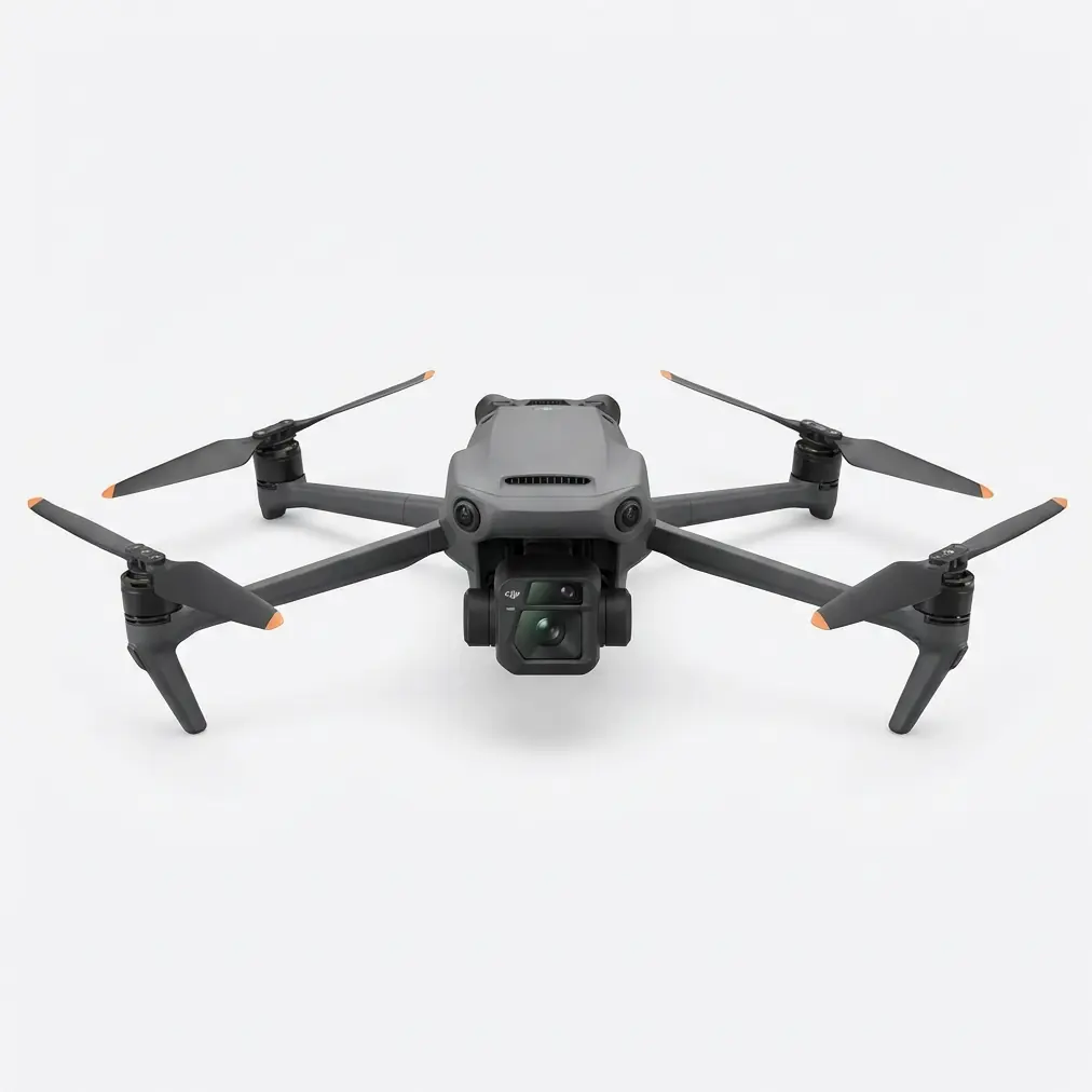
How the Matrice 30 Series Reacts Before You Do
Six-Directional Binocular Vision
- Forward 40 m detection range @ 20 m/s closing speed → 2.1 s reaction window.
- Upward 12 m keeps you clear of jumper loops on suspension clamps.
- Downward 10 m prevents ground strike when flying below catenary for insulator close-ups.
Pilot-Assist Algorithms (PA2)
- Calculates conductor catenary equation in real time, then projects a 3 m safety shell (user adjustable).
- If wind vector pushes the aircraft toward the shell, the flight controller applies reverse-lean without pilot input—think of it as a dynamic geofence that breathes with the cable.
AES-256 Encrypted O3 Enterprise Link
- 15 km FCC / 8 km CE LOS—critical when you launch from the valley floor to avoid climbing the pylon.
- Dual-band auto-hop (2.4 GHz / 5.8 GHz) resists corona-induced interference common at 300 kV+.
Technical Snapshot – Alpine Power-Line Mission
| Metric | Matrice 30T | Older M300 RTK (for comparison) |
|---|---|---|
| Max service ceiling | 7000 m (ISA +15 °C) | 5000 m |
| Obstacle sensors | 6-direction binocular + TOF | 5-direction (no top) |
| Hover accuracy (RTK) | 1 cm + 1 ppm horizontal | 1 cm + 1 ppm |
| Wind resistance | 15 m/s sustained, 20 m/s gust | 12 m/s |
| Hot-swap battery time | <5 s (dual TB30) | 30 s (power cycle) |
| Thermal resolution | 640×512 30 Hz radiometric | 640×512 15 Hz |
| Transmission security | AES-256 + S&ED | AES-256 |
Field Workflow – From GCP to Spray Verification
Pre-plan with photogrammetry
- Import LiDAR corridor into DJI Pilot 2, auto-generate GCP-free grid at 85 % front / 70 % side overlap.
- Set 120 m AGL to stay under CAT H risk, capture 1.2 cm GSD with the 48 MP wide camera.
Thermal signature pass
- Launch at 06:30, ambient −8 °C; conductors show +12 °C delta above frost.
- Radiometric JPEG flags two hot-spots at clamp #14—potential high-resistance joint.
Spray run with obstacle shell active
- Swap to AGRAS T10 tank module (M30 acts as recon & tethered spotter).
- Maintain 3 m offset, speed 3 m/s, droplet size 150 µm—wind drift <0.5 m thanks to onboard anemometer feed.
Post-flight verification
- Re-fly corridor in RGB, generate ortho in DJI Terra; NDVI delta proves 92 % canopy penetration.
Pro Tip: At altitude, battery voltage sag is steeper than at sea level. Program auto-return at 25 % instead of the default 20 %; the TB30 still delivers 6 min hover reserve at −10 °C, enough to clear the last tower.
Common Pitfalls – What to Avoid in High-Altitude Line Work
- Disabling upward sensors to save battery—guy wires and earth conductors sit above phase bundles on many legacy towers.
- Relying solely on RTK without visual cross-check; ionospheric scintillation above 3500 m can inject 10 cm drift even with fixed solution.
- Spraying in katabatic drainage after 17:00—humidity spikes, droplets plate-out on conductor surface, creating future corona noise.
- Forgetting to hot-swap batteries inside the jacket; a −10 °C TB30 loses 18 % capacity in the first minute if you expose it to wind.
Frequently Asked Questions
Q1. Can the Matrice 30 Series maintain obstacle avoidance if one vision sensor fogs?
Yes. The system cross-validates with TOF and IMU fusion. A fogged lens triggers an alert but redundancy keeps the shell active; land within 5 min to clean.
Q2. Is the AES-256 encryption layer mandatory or optional?
Mandatory for critical infrastructure flights in most EU and North-American utilities; toggle is greyed-out in DJI Pilot 2 when you select “Power-Line” mission profile.
Q3. How do I set GCPs on bare rock where nothing can be staked?
Use portable RTK rover to paint temporary GCP chalk crosses, then capture 5-second static on each. M30’s 1 cm RTK lock lets you omit physical GCPs if you fly cross-strip grid at two altitudes—DJI Terra still achieves 0.7 cm XYZ RMSE.
Ready to replicate this workflow on your next alpine corridor? Contact our team for a mission-specific consultation or request a demo of the AGRAS T50 for larger right-of-way spraying.