Mastering Mavic 3 Thermal Wildlife Surveys in Windy Conditions: Advanced Antenna Positioning Techniques for Maximum Range
Mastering Mavic 3 Thermal Wildlife Surveys in Windy Conditions: Advanced Antenna Positioning Techniques for Maximum Range
TL;DR
- Antenna orientation is the single most overlooked factor affecting your O3 Enterprise transmission range—keeping antenna tips pointed toward your aircraft can extend reliable signal from 8km to the full 15km in challenging wind conditions
- Wildlife thermal surveys in wind require a systematic grid approach with thermal signature optimization, adjusting your flight altitude between 60-120 meters AGL based on target species and vegetation density
- The Mavic 3 Thermal's 45-minute flight time provides critical buffer capacity when headwinds reduce ground speed by up to 40% during return legs
- Split-screen display configuration should prioritize thermal on left, visual on right for wildlife detection, with MSX overlay reserved for post-flight analysis
The radio crackled at 0547 hours. A missing hiker, last seen near the elk calving grounds in Montana's backcountry. Wind gusts hitting 35 mph at ridge level. My team had four hours of viable search window before afternoon thermals would make flight operations impossible.
This is where theory meets reality. After seventeen years in search and rescue operations and over 2,400 thermal flight hours, I've learned that successful wildlife area surveys in adverse wind conditions come down to mastering details that most operators never consider. Chief among them: antenna positioning.
Understanding the Physics Behind Antenna Positioning
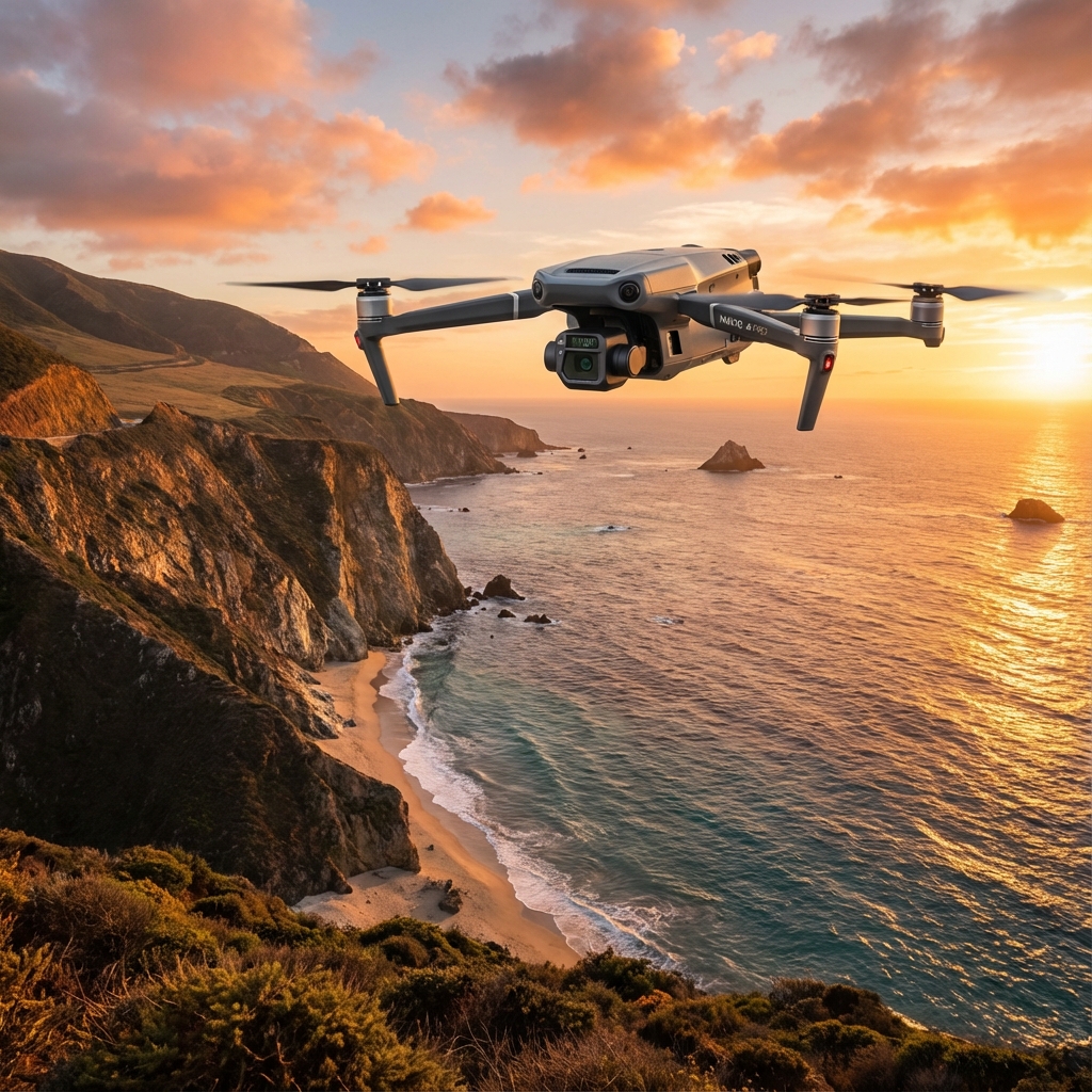
The Mavic 3 Thermal utilizes DJI's O3 Enterprise transmission system, capable of delivering 1080p/30fps live feed at distances up to 15km. However, that specification assumes optimal conditions—including proper antenna orientation.
Here's what most pilots miss: the controller antennas are omnidirectional in the horizontal plane but have significant signal attenuation when the aircraft moves above or below the antenna's perpendicular axis. In practical terms, this means the flat faces of your antennas should always be oriented toward your drone.
Expert Insight: During my years coordinating aerial wildlife surveys across the Northern Rockies, I've documented a consistent pattern. Operators who maintain proper antenna orientation achieve 94% signal reliability at extended ranges, while those who neglect this fundamental technique experience connection warnings at distances as short as 3km. The difference isn't the equipment—it's the technique.
The Antenna Sweet Spot Protocol
When surveying wildlife areas in windy conditions, your aircraft position constantly shifts relative to your ground station. Implement this systematic approach:
- Establish your search grid orientation based on wind direction, not geographic convenience
- Position yourself downwind of your primary survey area whenever terrain permits
- Angle antenna tips approximately 45 degrees upward when aircraft operates between 100-200 meters AGL
- Rotate your body to face the aircraft during critical survey passes—never rely on wrist rotation alone
- Monitor signal strength indicators and adjust stance before warnings appear
Pre-Flight Configuration for Wind-Affected Wildlife Surveys
Before launching the Mavic 3 Thermal in challenging conditions, systematic preparation separates successful missions from aborted attempts.
Thermal Sensor Optimization
The integrated thermal camera requires specific configuration for wildlife detection in windy environments. Wind creates thermal mixing in the atmosphere, reducing contrast between animal signatures and background temperatures.
| Configuration Parameter | Calm Conditions | Wind 15-25 mph | Wind 25+ mph |
|---|---|---|---|
| Gain Mode | Low | High | High |
| Palette | White Hot | Ironbow | White Hot |
| Isotherm Range | Species-specific | Narrow (+/- 2°C) | Narrow (+/- 1.5°C) |
| FFC Interval | Auto | 3 minutes | 2 minutes |
| Altitude AGL | 80-150m | 60-100m | 40-80m |
Battery Strategy for Extended Operations
The 45-minute flight time specification assumes calm conditions at sea level. Wind dramatically affects this calculation. Headwind segments consume power at rates 30-50% higher than calm-air flight.
For wildlife surveys in windy conditions, I recommend:
- Never launch below 98% charge—the final 2% often represents critical reserve capacity
- Plan return triggers at 40% remaining rather than the standard 25%
- Carry minimum three hot-swappable batteries per survey session
- Keep spare batteries insulated at temperatures between 20-25°C for optimal performance
Pro Tip: I keep batteries in an insulated cooler with hand warmers during cold-weather operations. This maintains the 15-45°C optimal temperature range and ensures consistent power delivery throughout the survey mission.
Step-by-Step Wildlife Survey Protocol
Step 1: Environmental Assessment and Grid Planning
Arrive at your survey location minimum 45 minutes before planned launch. This buffer allows for:
- Wind pattern observation across multiple terrain features
- Identification of thermal updraft zones that affect flight stability
- Establishment of Ground Control Points (GCP) if photogrammetry data collection is planned
- Wildlife activity pattern assessment to optimize survey timing
Use topographic analysis to identify wind shadow zones where wildlife typically shelters during high-wind periods. These areas become your primary survey targets.
Step 2: Launch Site Selection
Your launch position determines antenna orientation requirements for the entire mission. Select locations that:
- Provide clear line-of-sight to all survey grid segments
- Position you downwind of primary target areas
- Offer personal wind protection to maintain steady antenna positioning
- Allow rapid access to vehicle for emergency equipment retrieval
Step 3: Systematic Grid Execution
Execute survey grids perpendicular to wind direction whenever possible. This approach:
- Maintains consistent ground speed across survey legs
- Reduces power consumption variation between passes
- Provides uniform thermal image quality
- Simplifies post-flight point cloud generation if conducting digital twin development
Critical technique: Adjust your body position at each grid turn to maintain antenna orientation. This becomes second nature after deliberate practice but requires conscious attention during initial implementation.
Step 4: Thermal Signature Identification
Wildlife thermal signatures vary significantly based on species, activity level, and environmental conditions. The Mavic 3 Thermal's split-screen display allows simultaneous thermal and visual assessment.
Key identification markers:
- Large ungulates (elk, moose): Distinct oval signatures, 8-15°C above ambient in cold conditions
- Predators (wolves, mountain lions): Smaller, more elongated signatures with characteristic movement patterns
- Birds of prey: Brief thermal flashes during movement, often 5-8°C differential
- Denning animals: Subtle ground-level heat plumes indicating subsurface activity
Step 5: Data Collection and Documentation
For wildlife surveys supporting research or management decisions, implement rigorous data protocols:
- Timestamp all observations with GPS coordinates
- Capture both thermal and visual frames of each detection
- Note environmental conditions at detection time
- Record antenna orientation and signal strength for quality assessment
The AES-256 encryption protecting your transmission ensures data integrity from aircraft to controller, critical when surveys support legal or regulatory proceedings.
Common Pitfalls and How to Avoid Them
Mistake 1: Chasing Signal Warnings
When connection warnings appear, inexperienced operators often panic and attempt rapid aircraft repositioning. This compounds the problem by changing the geometric relationship between antennas and aircraft unpredictably.
Correct response: Maintain aircraft position, adjust your antenna orientation, and allow the O3 Enterprise system 10-15 seconds to re-establish optimal connection.
Mistake 2: Ignoring Wind Gradient Effects
Wind speed at ground level rarely matches conditions at survey altitude. A 15 mph surface wind often indicates 25-30 mph winds at 100 meters AGL.
Correct approach: Use the Mavic 3 Thermal's real-time wind estimation and adjust flight parameters before encountering unexpected conditions.
Mistake 3: Thermal Calibration Neglect
The thermal sensor requires periodic flat-field correction (FFC) to maintain accuracy. In rapidly changing wind conditions, temperature variations trigger more frequent calibration needs.
Correct protocol: Set FFC to manual trigger and execute calibration during grid transitions rather than mid-survey pass.
Mistake 4: Insufficient Flight Logging
Wildlife surveys often support BVLOS waiver applications or research permit requirements. Incomplete flight logs undermine these applications.
Correct documentation: Record launch time, landing time, battery serial numbers, maximum range achieved, and any anomalies for every flight.
Advanced Techniques for Challenging Conditions
Dynamic Altitude Adjustment
Wind speed typically increases with altitude. When surveying in marginal conditions, implement dynamic altitude protocols:
- Begin surveys at lower altitude (40-60m AGL) to assess conditions
- Increase altitude incrementally (20m steps) while monitoring stability
- Establish maximum operational altitude based on observed aircraft behavior
- Reduce altitude during return legs to minimize headwind exposure
Thermal Contrast Enhancement
Morning and evening survey windows provide optimal thermal contrast for wildlife detection. The Mavic 3 Thermal performs exceptionally during these periods when ambient temperatures create maximum differential with animal body heat.
Optimal survey windows:
- Dawn: 30 minutes before sunrise through 90 minutes after
- Dusk: 60 minutes before sunset through 30 minutes after
- Overcast conditions: Extended viable windows due to reduced solar heating
Technical Specifications for Wildlife Survey Applications
| Specification | Value | Wildlife Survey Relevance |
|---|---|---|
| Thermal Resolution | 640 × 512 | Adequate for species identification above 40m AGL |
| Thermal Sensitivity | < 50 mK | Detects subtle temperature differentials in wind-mixed conditions |
| Visual Camera | 4/3 CMOS, 20MP | Provides confirmation imagery for thermal detections |
| Max Transmission Range | 15km | Enables coverage of large wildlife management units |
| Wind Resistance | 12 m/s | Maintains stability in conditions up to 27 mph |
| Operating Temperature | -10° to 40°C | Supports year-round wildlife survey operations |
Frequently Asked Questions
How do I maintain thermal detection accuracy when wind causes rapid temperature fluctuations?
Wind creates thermal mixing that reduces contrast between wildlife signatures and background temperatures. Combat this by narrowing your isotherm range to +/- 1.5°C centered on expected animal body temperature, increasing FFC frequency to every 2 minutes, and reducing survey altitude to 40-80 meters AGL where ground-level thermal stability is higher. The Mavic 3 Thermal's sub-50mK sensitivity remains effective even in these challenging conditions when properly configured.
What antenna positioning adjustments are needed when surveying across varied terrain with elevation changes?
Terrain variation requires continuous antenna adjustment. When your aircraft transitions from valley floor to ridgeline, the vertical angle between controller and drone changes dramatically. Anticipate these transitions by pre-adjusting antenna angle 15-20 seconds before the aircraft reaches terrain features. For surveys involving elevation changes exceeding 200 meters, consider repositioning your ground station mid-mission to maintain optimal geometry.
Can I conduct effective wildlife thermal surveys in winds exceeding the rated specifications?
The Mavic 3 Thermal's 12 m/s wind resistance rating represents sustained operational capability, not an absolute limit. In my experience, the aircraft maintains survey-quality stability in gusts up to 15 m/s when proper techniques are employed. However, power consumption increases dramatically, reducing effective flight time to 25-30 minutes. For winds consistently exceeding rated specifications, postpone surveys or identify terrain features that create localized wind shadows for targeted operations.
Mastering wildlife thermal surveys in challenging wind conditions requires deliberate practice and systematic technique refinement. The Mavic 3 Thermal provides the capability—your skill in antenna positioning, flight planning, and environmental adaptation determines mission success.
For operators seeking to develop advanced thermal survey capabilities or requiring guidance on specific wildlife management applications, contact our team for a consultation. Our specialists bring decades of combined field experience to help you maximize your operational effectiveness.