
Mavic 3T Apr 11, 2026
Capturing Coastlines with the Mavic 3T: A Field Report
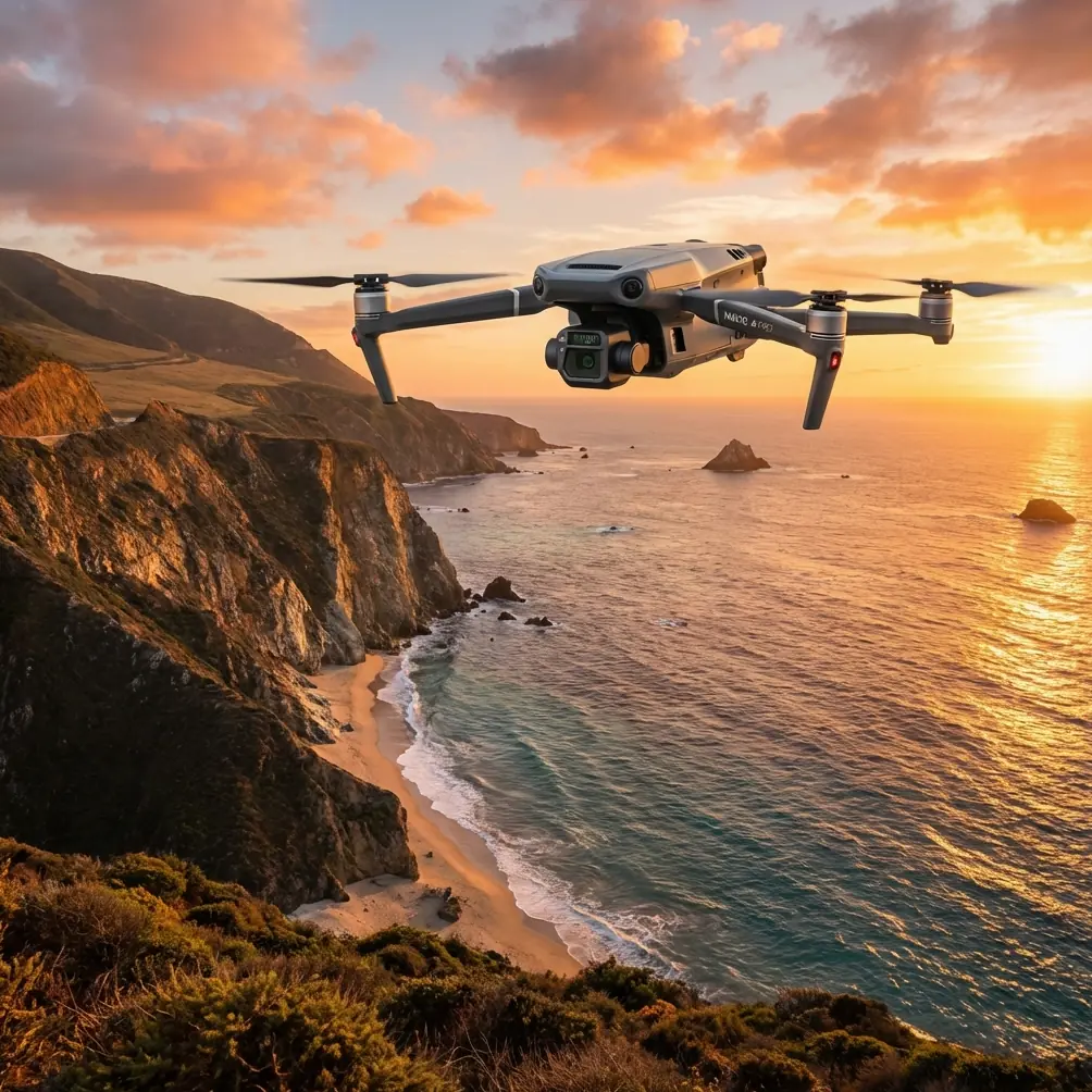
I’ve spent enough time around cliffs, salt spray, broken headlands, and tidal flats to know that coastal flying punishes sloppy assumptions. A site that looks s
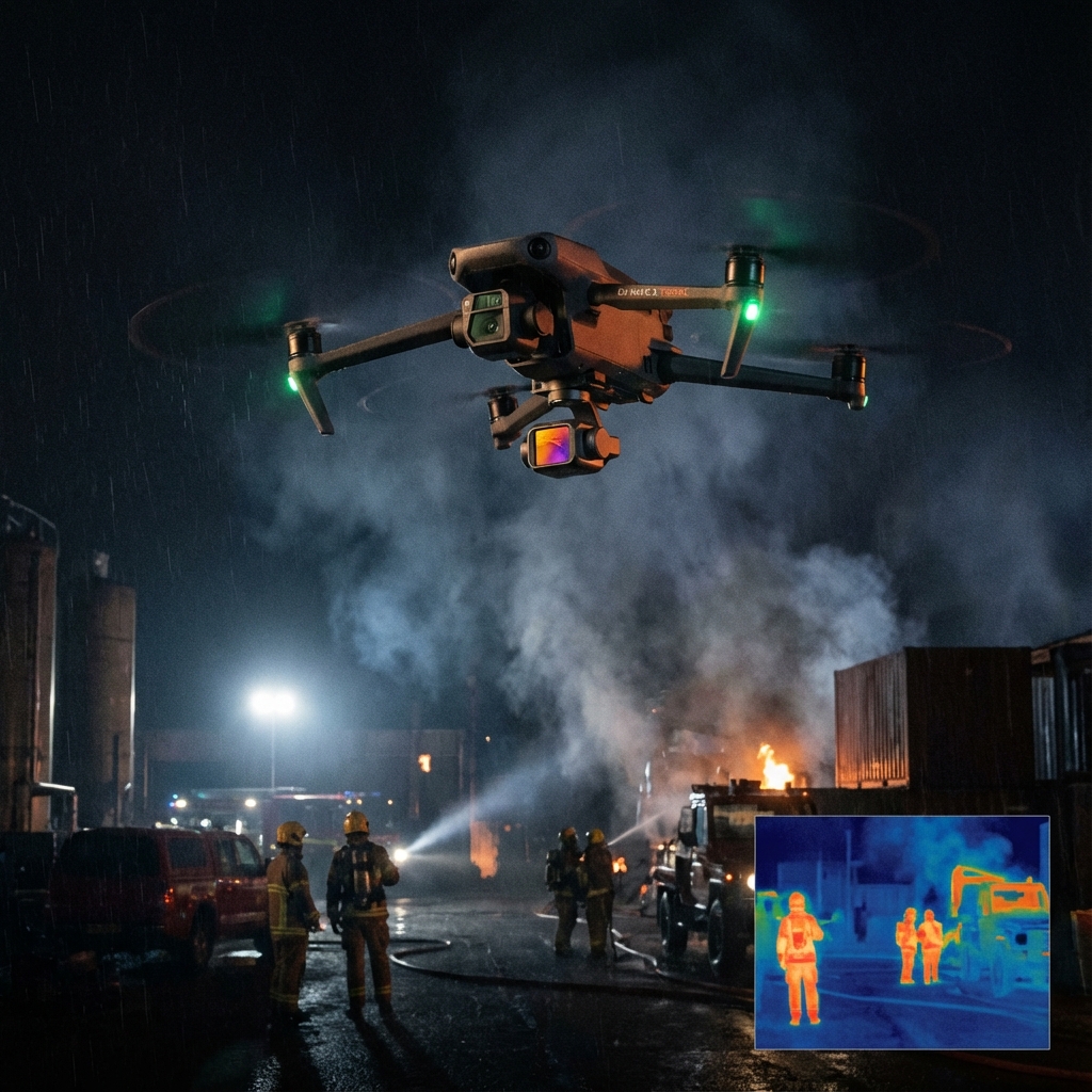
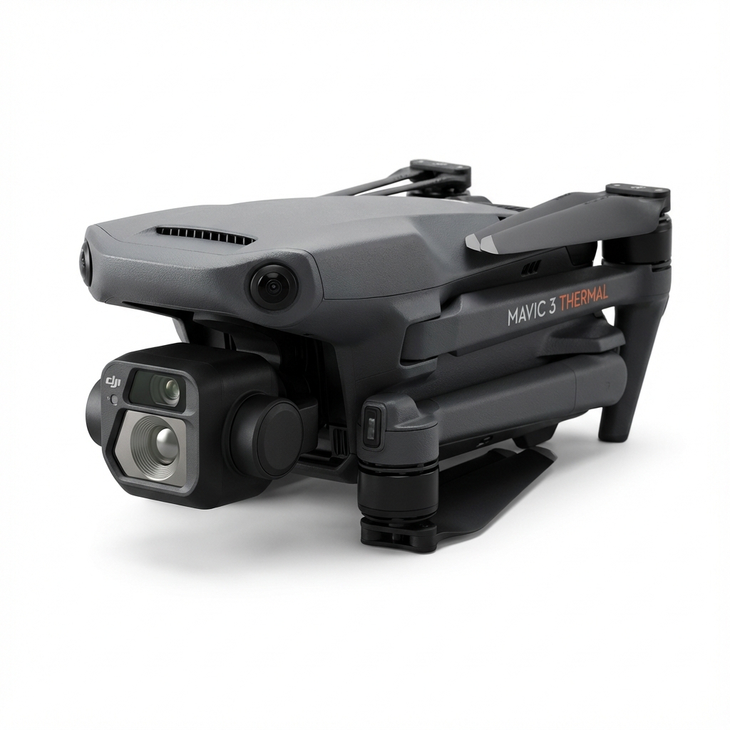
The DJI Mavic 3 Thermal (M3T) is an advanced commercial and enterprise drone tailored for public safety, inspection, and agricultural operations. Equipped with a 640x512 thermal sensor and a 48MP wide camera.
The Mavic 3T's thermal camera supports point and area temperature measurement, high-temperature alerts, color palettes, and isotherms to help you find targets and make quick decisions.
Mavic 3T's thermal and visual cameras support 28× continuous side-by-side zoom for easy comparisons.
Omnidirectional obstacle sensing and APAS 5.0 for worry-free flight in complex environments.
Stay informed with the latest updates on drone technology, industry trends, and precision agriculture insights.
I’ve spent enough time around cliffs, salt spray, broken headlands, and tidal flats to know that coastal flying punishes sloppy assumptions. A site that looks s
Urban highway monitoring looks simple from a distance. Put a drone in the air, fly the corridor, collect imagery, and review the footage later. In practice, it

On paper, the Mavic 3T looks like a compact aircraft with a thermal payload and a familiar folding airframe. In the field, especially far from urban support and